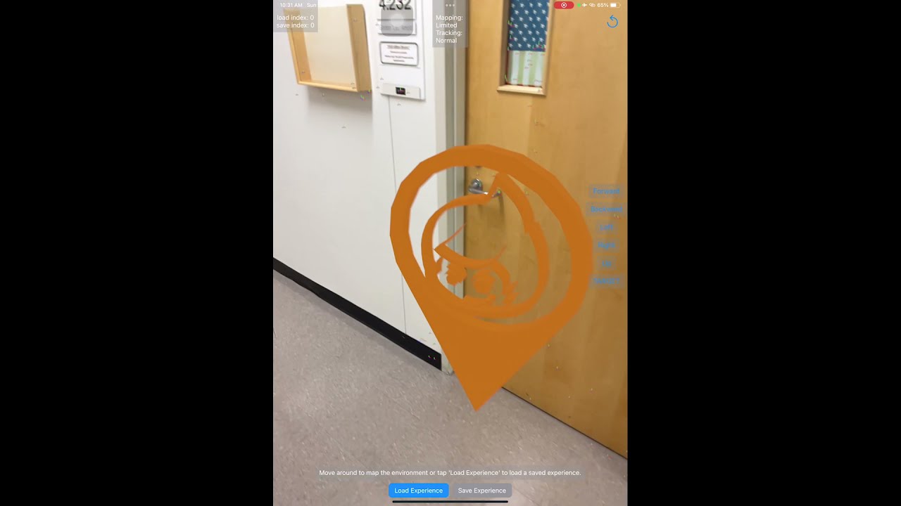
The first week at UTD was a terrible experience for us. We were late for most of our classes as we couldn't remember where the rooms are. Using the current UTD map didn't help much, as they do not provide clear guidance inside buildings. That is why we wanted to create an app that helps students find their classrooms.
It tracks the student's current location inside a building with pre-made world data and uses that data to provide the shortest path to wherever they want to go.
We used ARKit and RealityKit to map the building and saved it to a binary file. Then we add anchors to the world map, which will later be used for creating virtual arrows directing the student to their class.
We first have to understand how RealityKit maps the world and how we can save that data to add anchors. The next challenge arises when we were trying to save multiple anchors to simple and complex scenes, as well as keeping the anchors fixed to their locations.
Learning how to use complex functions in RealityKit, ARKit in a very short amount of time. Solving the issue of adding multiple anchors to the world map was a huge milestone for us.
We learned the basics of RealityKit and ARKit, and we also learned how to collaborate as a team using gitHub.
We will be expanding our data to cover more paths to classes in more buildings on our campus.
